This Sunday, April 5, 2026, is a rare collision of the sacred and the traditional. While most of the world is celebrating Easter, the calendar has handed us another gift: National Read a Road Map Day. In our "Sky-Link" hero era, we’ve outsourced our sense of direction to a flickering blue dot. We follow voice prompts like drones, often arriving at a destination without having any idea of the landscape we just crossed. This Easter, we’re issuing a challenge to "resurrect" a dying art. Put the phone in the glovebox, pull out the accordion-folded paper, and take the Analog Easter Challenge.
1. Why Paper? (The "Big Picture" Advantage)
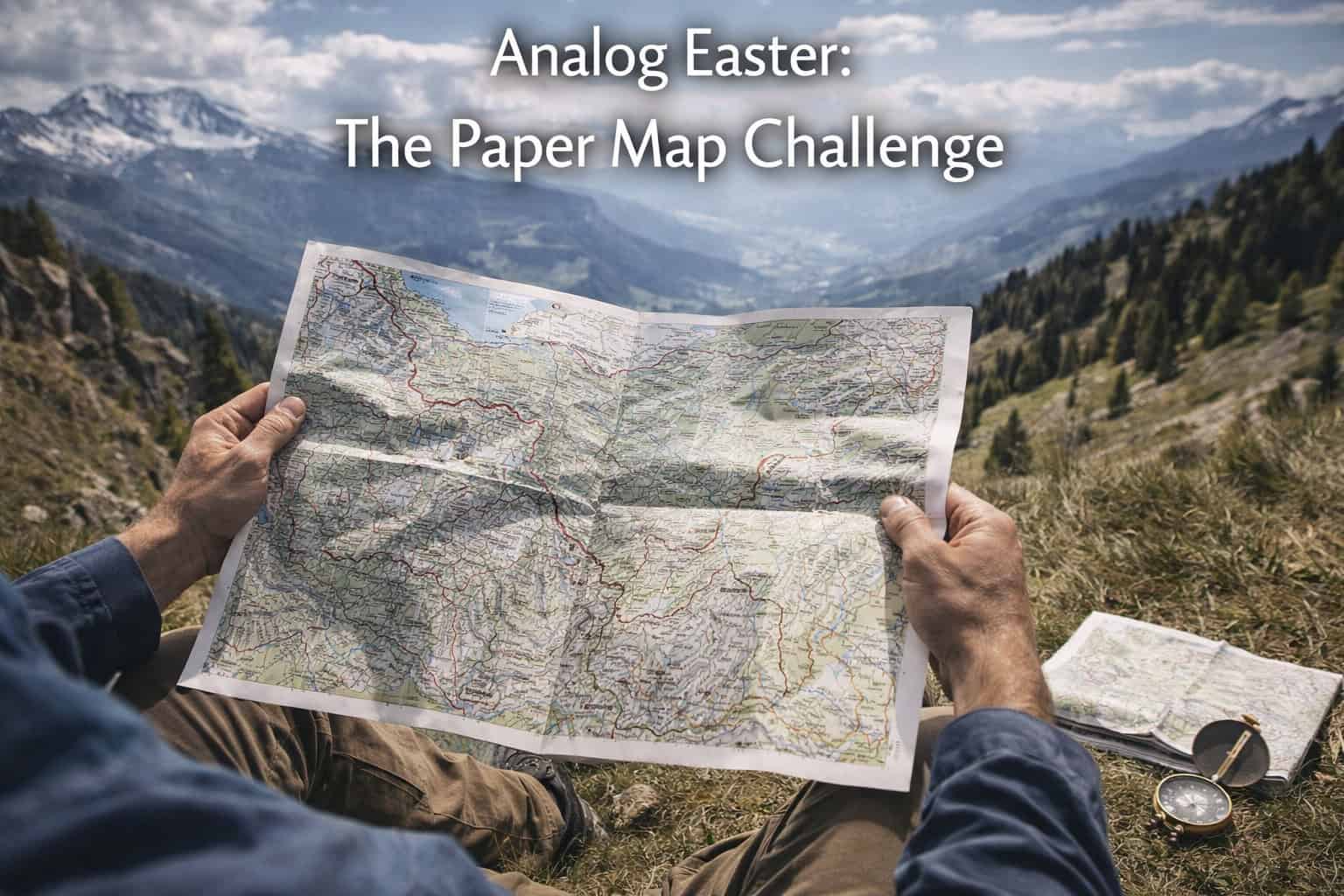
GPS is a keyhole; a paper map is a panoramic window. When you look at a screen, you see 500 yards in front of you. When you look at a paper map, you see the ridgelines, the river bends, and the alternate routes that the algorithm hides from you because they are "3 minutes slower."
-
Spatial Intelligence: Navigating by paper forces your brain to build a "mental map," a cognitive skill that improves memory and spatial awareness.
-
The "Dead-Battery" Fail-Safe: Paper doesn't need a satellite, a charging cable, or a 5G tower. It is the ultimate survival tool for the "Ghost Mode" scout.
2. The "Finger-Tracing" Method: Estimating Time & Distance
The biggest hurdle for the paper-map novice is the lack of an "Estimated Time of Arrival" (ETA) box. But your hand is actually a built-in calculator. Here is how to use the Finger-Tracing technique:
Step 1: Calibrate Your Scale
Look at the map's scale bar (usually in the corner). Place your index finger or thumb on the bar.
-
Example: On a standard topo map, your index finger width might equal exactly 1 mile or 2 kilometers.
Step 2: Trace the Route
"Walk" your fingers along your intended path, counting the "widths" as you go. Because trails and roads curve, "walking" your fingers—alternating hands as you move—captures the distance more accurately than a straight ruler.
Step 3: The Time Conversion
Once you have your distance (e.g., "12 fingers" = 6 miles), apply the Scout’s Time Rule:
-
On Foot: 20 minutes per mile (plus 30 mins for every 1,000 ft of gain).
-
Driving (Backroads): 1.5 to 2 minutes per mile.
-
The Result: 6 miles on a flat trail? You’ll be at the lake in exactly 2 hours. No GPS needed.
3. The 3 Rules of the Analog Easter Challenge
To successfully complete the challenge this Sunday, you must follow the Three Pillars of the Paper Scout:
-
The Glovebox Lock: Once you leave your driveway, the phone stays in the glovebox. No "just checking" the blue dot.
-
The Landmark Anchor: You must identify three major natural landmarks (a specific peak, a bridge, or a valley) on your map and find them with your eyes before you reach your destination.
-
The Navigator’s Dialogue: If you’re traveling with a partner, they are the "Chief Navigator." You must communicate via coordinates and landmarks ("Turn left after the creek crossing") rather than "In 500 feet, turn left."
4. Why This Matters for Holy Week 2026
With the Artemis II mission in orbit and the Pink Moon still glowing in the sky, we are surrounded by high-tech wonders. But there is something deeply grounding about holding a physical piece of the Earth in your hands. It’s a return to basics—a way to "ascend" from digital noise and reconnect with the physical reality of the trail.
Scout the Terrain Before You Lose the Blue Dot
The "Analog Easter Challenge" is an adventure, but it shouldn't be a disaster. You don't want to realize your "paper-perfect" route is blocked by a massive spring mudslide or a closed trailhead.
Before you put your phone away for the weekend, use CampgroundViews to virtually scout your destination. Their 360-degree virtual tours give you a "ground-truth" view of the roads and campsites. Use it to memorize the visual landmarks of your site before you go analog, ensuring you can find your "sacred space" even if the map gets a little confusing.
Click here to scout your Analog Easter escape with the Best Camping Tool Ever!